
HG-J06 Lot 106 · Surveys
Public-space hazard survey from vehicle imagery
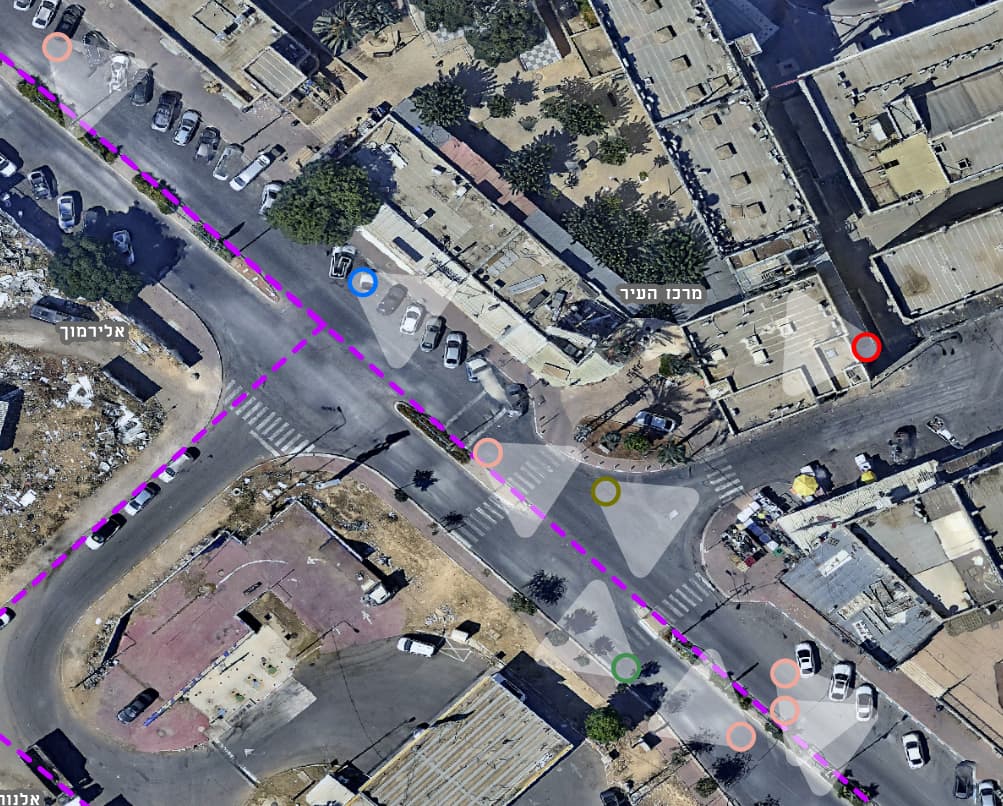
Vehicle imagery and AI detection located hazards on pavements and in public space, each placed as a point in a GIS layer.
- Plan no.
- HG-J06
- Scale
- 1:1,250
- Sheet
- 06/16
- Updated
- 11.2026
- Client
- A local authority
- Discipline
- Surveys
- Data source
- Vehicle imagery · AI detection
A local authority
Project provisions
-
Challenge
Hazards on pavements and in public space usually come to light only after someone calls the hotline. Fixing them ahead of time takes a picture of every street, not only the ones that generated complaints.
-
Solution
A camera vehicle drove the streets and an AI model flagged pavement and public-space hazards in the imagery. The detections were placed on the aerial photo and built into a hazard layer that can be filtered and sorted.
-
Outcome
Maintenance teams see the hazards on the map, prioritise them by location and type, and go out to fix them from a list rather than only from complaints.
Legend
Deliverables
| Key | No. | Deliverable |
|---|---|---|
| 106.1 | GIS hazard layer | |
| 106.2 | Street imagery from the vehicle survey |
Plates
From the project
-
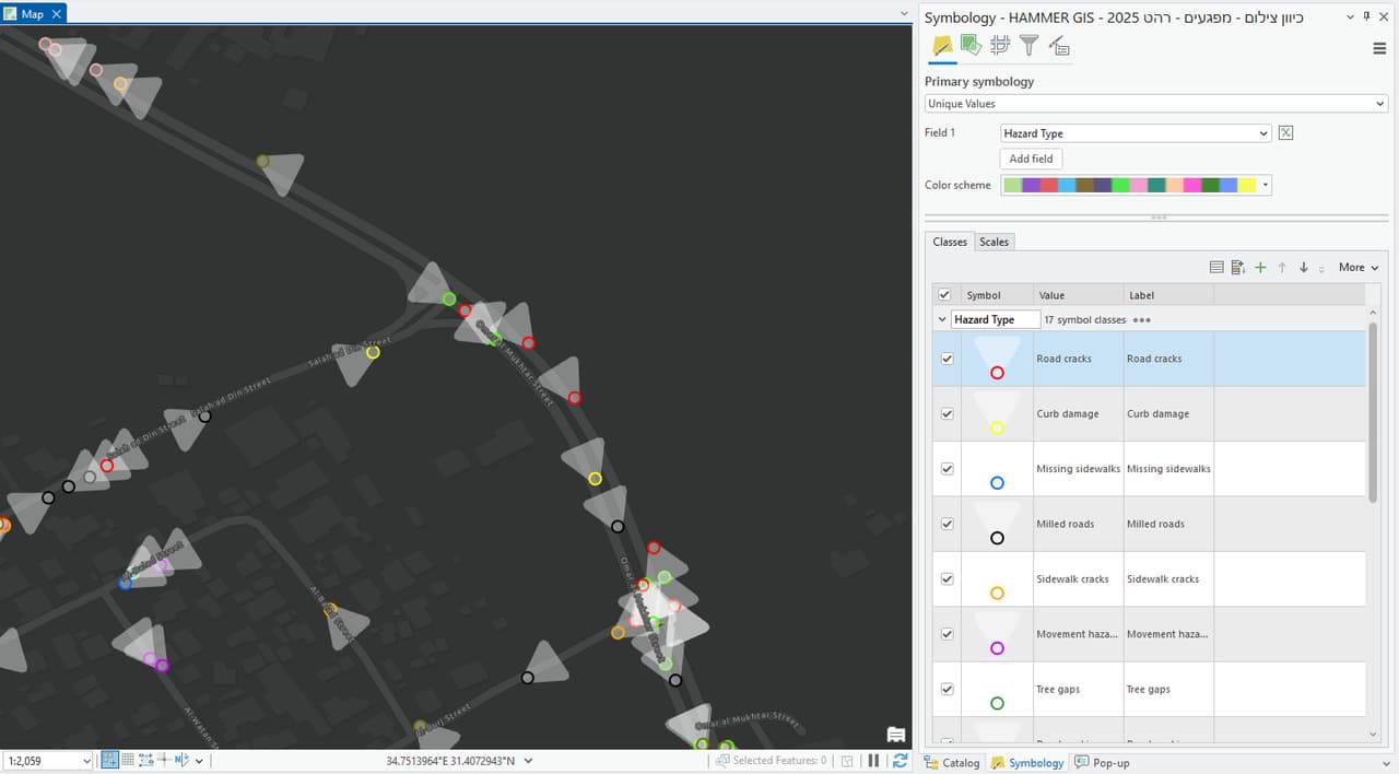
P-02 Hazard points along streets in a dark GIS interface
J-04 · Your next project
What do you want to move forward in your organisation?
Tell us what needs solving and we will come back with a proposed approach: a survey, a system, software, or a combination.