
HG-S00 GIS software for municipalities
From the field, to the layer, to the decision
Five products born from fieldwork with Israeli municipalities. Two are live in production, one runs on ArcGIS today while its next generation is built, one is in pilot and one is a concept. Each one is labelled with exactly where it stands.
- Plan no.
- HG-S00
- Scale
- 1:1,250
- Updated
- 11.2026
One principle
Data captured once, delivered to everyone who needs it
HAMMER's software is built around a single data chain. CADabra and SEE.GMMA produce GIS layers from CAD drawings and aerial imagery. HAMMER CITY puts the authority's layers in front of every employee, in one map. SIGNYX and CLIMYX each specialise in one domain: the traffic committee's work, and urban heat.
Five products
The products
-
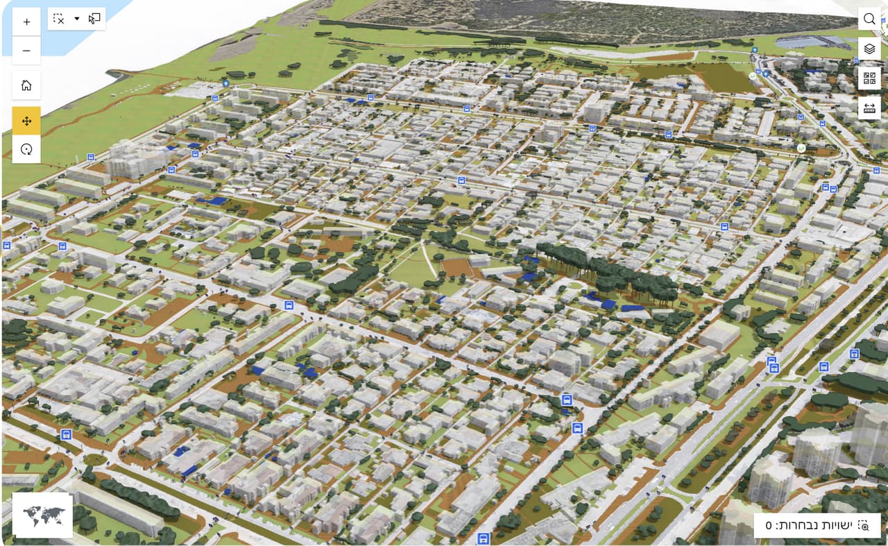
 HAMMER CITY One map site for every municipal employee: search, identify, measure, print and CAD overlay, on the authority's own ArcGIS Online.
-
 CADabra Statutory plans and AS-MADE surveys in DWG or DXF become clean, validated GIS layers, with a quality report and ArcGIS Online publishing.
-
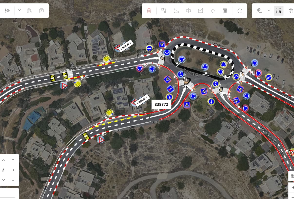
 SIGNYX Running the traffic committee: requests, plans, map-based sign planning, meetings and decisions.
-
 CLIMYX Street-level analysis of urban heat islands and outdoor comfort, built on HAMMER's urban heat-mapping work.
-
 SEE.GMMA AI-assisted mapping from aerial imagery, reviewed by a GIS professional (NOW), and finding when a place changed from satellite archives (WHEN).
How they connect
One data chain, five stations
The products connect through the authority's ArcGIS Online and through open formats. There is no need to take all of them: each one stands on its own.
-
ST-01
The field
HAMMER surveys, drone capture and orthophotos supply the raw material: imagery, measurements and drawings.
-
ST-02
Producing layers
CADabra converts DWG and DXF drawings into validated GIS layers. SEE.GMMA helps produce layers from aerial imagery (in pilot).
-
ST-03
The authority's ArcGIS Online
CADabra publishes to the authority's ArcGIS Online organization, and the layers stay there. SEE.GMMA exports GeoPackage and GeoJSON.
-
ST-04
HAMMER CITY
Every employee sees the layers in one map, in Hebrew and in the authority's branding.
-
ST-05
Specialised products
SIGNYX runs the traffic committee's work on ArcGIS. CLIMYX, at concept stage, will focus on urban heat and shade.
Which product fits me
Start from the need
-
Option A
Staff need one simple map, in Hebrew
HAMMER CITY: every layer of the authority in one map, with search by address, plan and lot, or block and parcel.
Details -
Option B
We receive DWG plans and AS-MADE surveys
CADabra: conversion to GIS layers with topology QC, a quality report and ArcGIS Online publishing.
Details -
Option C
Our traffic committee juggles several tools
SIGNYX: requests, plans, map-based planning, meetings and decisions in one place.
Details -
Option D
We need vector layers from an orthophoto
SEE.GMMA (NOW): AI-assisted mapping reviewed by a GIS professional. Need the result now? The OrthoGraphic AI service.
Details -
Option E
We want to know when a place changed over the years
SEE.GMMA (WHEN): a search of the Landsat and Sentinel-2 archives, at lot scale or larger.
Details -
Option F
We need to plan shade based on data
CLIMYX is at concept stage. Today: HAMMER's urban heat-mapping service.
Details -
Option G
We don't have data yet
Start in the field: surveys, orthophotos and drone capture.
Details
What they share
How we build software
- On what you already have HAMMER CITY, CADabra and SIGNYX work with the authority's ArcGIS Online. ArcGIS is Esri's platform; we build on it and never present it as ours.
- Open formats CADabra exports Shapefile, File GDB, GeoPackage, GeoJSON and KML. SEE.GMMA exports GeoPackage and GeoJSON.
- The Israeli grid Support for ITM (EPSG:2039) and the Survey of Israel 108021 transformation, in CADabra and HAMMER CITY.
- Hebrew, right to left HAMMER CITY and CADabra are built for right-to-left Hebrew. CADabra is also available in English.
- A human in the loop AI assists, a person decides: in SEE.GMMA every output is reviewed, and in CADabra an unknown layer waits for a decision.
- Honest status Every product is labelled live, pilot, in development or concept. Anything planned is marked as planned.
Beyond software
Good software needs good data, and people beside it
S-07
Not sure where to start?
Tell us what you have today and what's missing, and we'll show you in a demo which product fits, or whether what you need is actually a survey.