
HG-V04 Tree survey and green space
Every tree, every bed, every water meter. On one map.
A tree and green-space survey maps the urban vegetation: trees, canopies, planted areas, shrubs and irrigation meters. The result serves the parks department in planning pruning and irrigation, engineering in planning shade, and the municipality in managing the mature trees in its area.
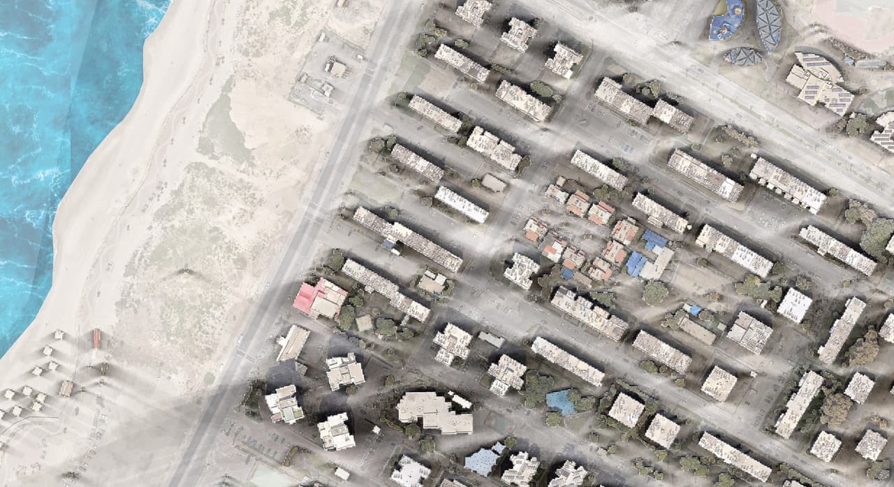
- Plan no.
- HG-V04
- Scale
- 1:1,250
- Sheet
- 04/06
- Updated
- 11.2026
What it is
The city's vegetation, managed as an asset
A tree and green-space survey maps every tree, canopy and planted area in the municipality, with attributes and photos, stored as GIS layers the parks department can work with.
Trees are a municipal asset that grows, changes and needs care. Without an inventory, it is hard to plan pruning cycles, estimate water use, choose where to plant or respond to a felling request. The survey gives you a complete map of the vegetation and lets you manage it like any other asset.
The layers
What we map
- Trees A point for every tree and its canopy as a polygon, with height from a 3D model where one exists.
- Planted areas Green areas, beds, lawns, shrubs and hedges, as polygons with type and area.
- Irrigation meters Irrigation water meters and their relation to the areas they serve.
- Attributes to your spec Species, height, trunk diameter, condition and other fields are agreed with your parks department or arborist.
How it works
From the air, from the ground, back to the map
-
ST-01
Definition
We set the survey boundary, the attribute list, and what is captured from the air versus on the ground.
-
ST-02
Mapping from the air
Tree canopies and planted areas are mapped from the orthophoto, with AI detection and an interpreter's review.
-
ST-03
On-foot survey
Field surveyors with a mobile app record individual trees, water meters and close-up attributes, including a photo.
-
ST-04
Quality control
Aerial and field results are compared, gaps are filled and attributes checked for consistency.
-
ST-05
Delivery
GIS layers, a green-space dashboard with counters, and 2D and 3D views you can navigate from a phone in the field.
Uses
What the inventory is for
- Pruning and green waste Pruning cycles planned by area, and green-waste collection-day maps for residents.
- Irrigation Water meters linked to the areas they irrigate, as a basis for tracking consumption.
- Mature trees An orderly inventory that supports felling and relocation requests handled with the Forestry Officer.
-
 Shade and heat Canopies and heights as inputs for street-level heat analysis and planting priorities.
- Planting plans Find streets and neighbourhoods with low canopy cover, and plan planting from data.
FAQ
Questions about tree and green-space surveys
What does a tree survey include?
Each tree mapped as a point and its canopy as a polygon, with a photo and pre-agreed attributes such as species, height, trunk diameter and condition. Most surveys also cover planted areas and irrigation meters.
Can tree canopies be mapped from aerial imagery?
Yes. Canopies and planted areas show clearly on an orthophoto, and we map them with AI detection and an interpreter's review. Heights come from a 3D model where one exists. Attributes such as species and trunk diameter need an on-foot survey.
Does the survey include an arborist's assessment?
The survey maps and records trees and the agreed attributes. Health and value assessments, or an opinion for a felling request, are made by a qualified arborist or agronomist. The survey layers give them a mapped basis to work from.
What is a green-space and water-meter survey?
A survey that maps the municipality's planted areas together with the meters that irrigate them. You can see which meter serves each green area, and build consumption and maintenance tracking by zone.
How does the survey help with shade planning?
Tree canopies and their heights are key inputs to street-level heat analysis. With them you can identify exposed streets and prioritise planting and shade structures from data.
How is the inventory kept up to date after the survey?
Layers are loaded into your GIS, and a field update form can be added for parks staff, so every planting, felling or pruning job is reflected on the map. The canopy layer is refreshed with each new orthophoto.
V-06
How many trees does your municipality have?
If there is no precise answer, it is time for a survey. Together we will define what is mapped from the air, what in the field, and which attributes your parks team needs.