
HG-J09 Lot 109 · Software
SIGNYX: a traffic committee that works on the map
A system for a regional council's traffic committee: incoming requests, map-based sign planning, committee meetings, decisions and PDF documents, on the council's ArcGIS Online.
- Plan no.
- HG-J09
- Scale
- 1:1,250
- Sheet
- 09/16
- Updated
- 11.2026
- Client
- A regional council
- Discipline
- Software
- Data source
- Council ArcGIS Online
A regional council
Project provisions
-
Challenge
A traffic committee runs a long chain: a request, planning of signs, poles and markings, a meeting, a decision and the minutes. When each step lives in a different tool, it is hard to tell where a request stands and what has already been approved.
-
Solution
We built SIGNYX on the council's ArcGIS Online, with screens that follow the workflow: an incoming-requests page fed by the council's request system, a planning portal for marking signs, poles, road markings and disabled parking on the map, a committee-meeting portal for the agenda and decisions, and a management portal. Agendas and minutes are produced as PDF documents, and disabled-parking permits are tracked. A new web-app generation of SIGNYX is in development.
-
Outcome
The committee coordinator, planners and members work from the same map and the same layers: each request sits at its location, gets planned there, goes to the meeting and produces its documents.
Legend
Deliverables
| Key | No. | Deliverable |
|---|---|---|
| 109.1 | Incoming-requests page | |
| 109.2 | Map-based planning portal | |
| 109.3 | Committee-meeting portal | |
| 109.4 | Management portal | |
| 109.5 | Agenda and minutes as PDF documents |
Plates
From the project
-
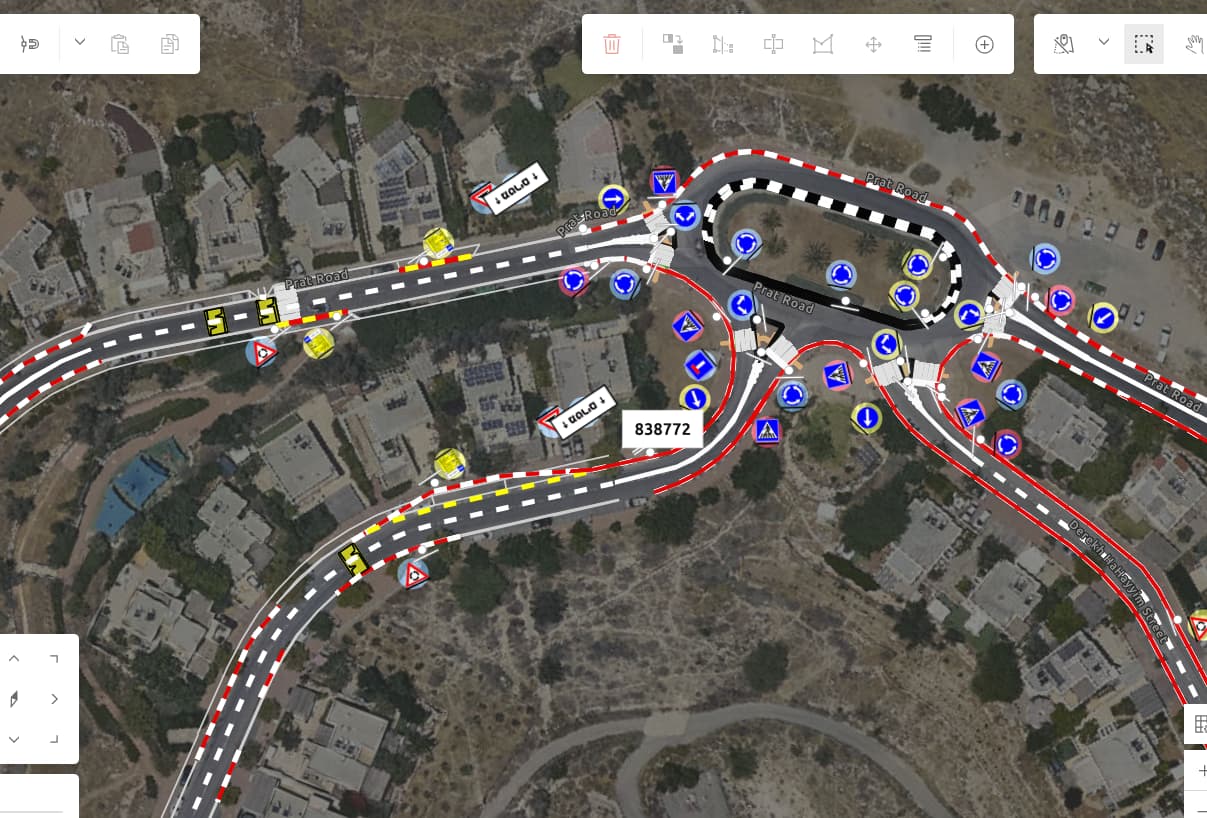
P-02 SIGNYX: planning signs along a road over the orthophoto -
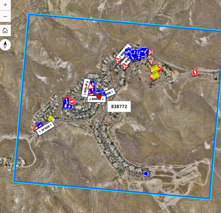
P-03 SIGNYX: a signage plan area on the orthophoto for a committee meeting -
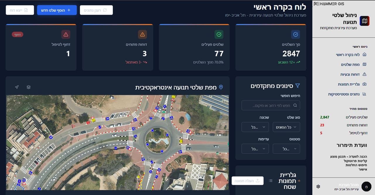
P-04 SIGNYX: planning signage at a roundabout on the aerial photo

Software
Software in this project

J-05 · Your next project
What do you want to move forward in your organisation?
Tell us what needs solving and we will come back with a proposed approach: a survey, a system, software, or a combination.