
HG-J16 Lot 116 · Additional services
Aerial wall maps for council offices
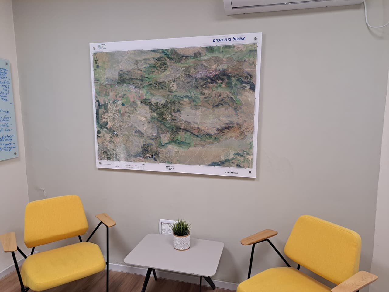
Wall-sized aerial photo maps with boundaries and base layers for meeting rooms, offices and waiting areas.
- Plan no.
- HG-J16
- Scale
- 1:1,250
- Sheet
- 16/16
- Updated
- 11.2026
- Client
- Councils and a regional cluster
- Discipline
- Additional services
- Data source
- Aerial photo · base layers
Councils and a regional cluster
Project provisions
-
Challenge
In a council meeting room, people talk about places all the time: a new neighbourhood, a road, an open area. A large, accurate map on the wall lets them point at the place instead of describing it.
-
Solution
We produced wall-sized aerial photo maps with boundaries and base layers, sized to the wall and the room. The finish was chosen for each space: printed on foam board in an aluminium frame, or on glass and perspex.
-
Outcome
The maps now hang in meeting rooms, offices and waiting areas. Discussions happen in front of a map of the area, and visitors see the communities and neighbourhoods at a glance.
Legend
Deliverables
| Key | No. | Deliverable |
|---|---|---|
| 116.1 | Printed aerial wall maps | |
| 116.2 | Boundaries and base layers on the map | |
| 116.3 | Foam board and aluminium, or glass and perspex finish |
Plates
From the project
-
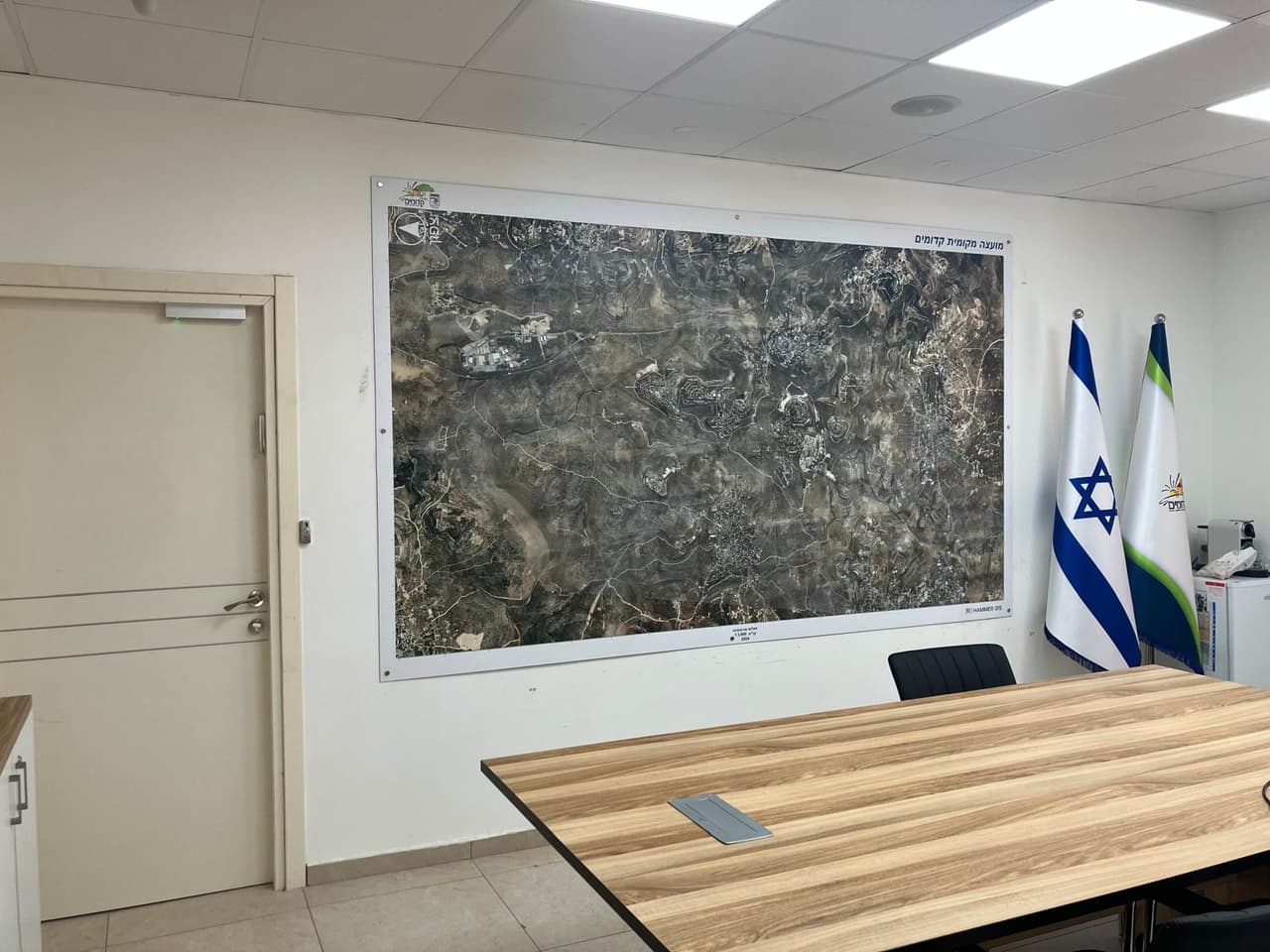
P-02 Large aerial wall map in a meeting room -
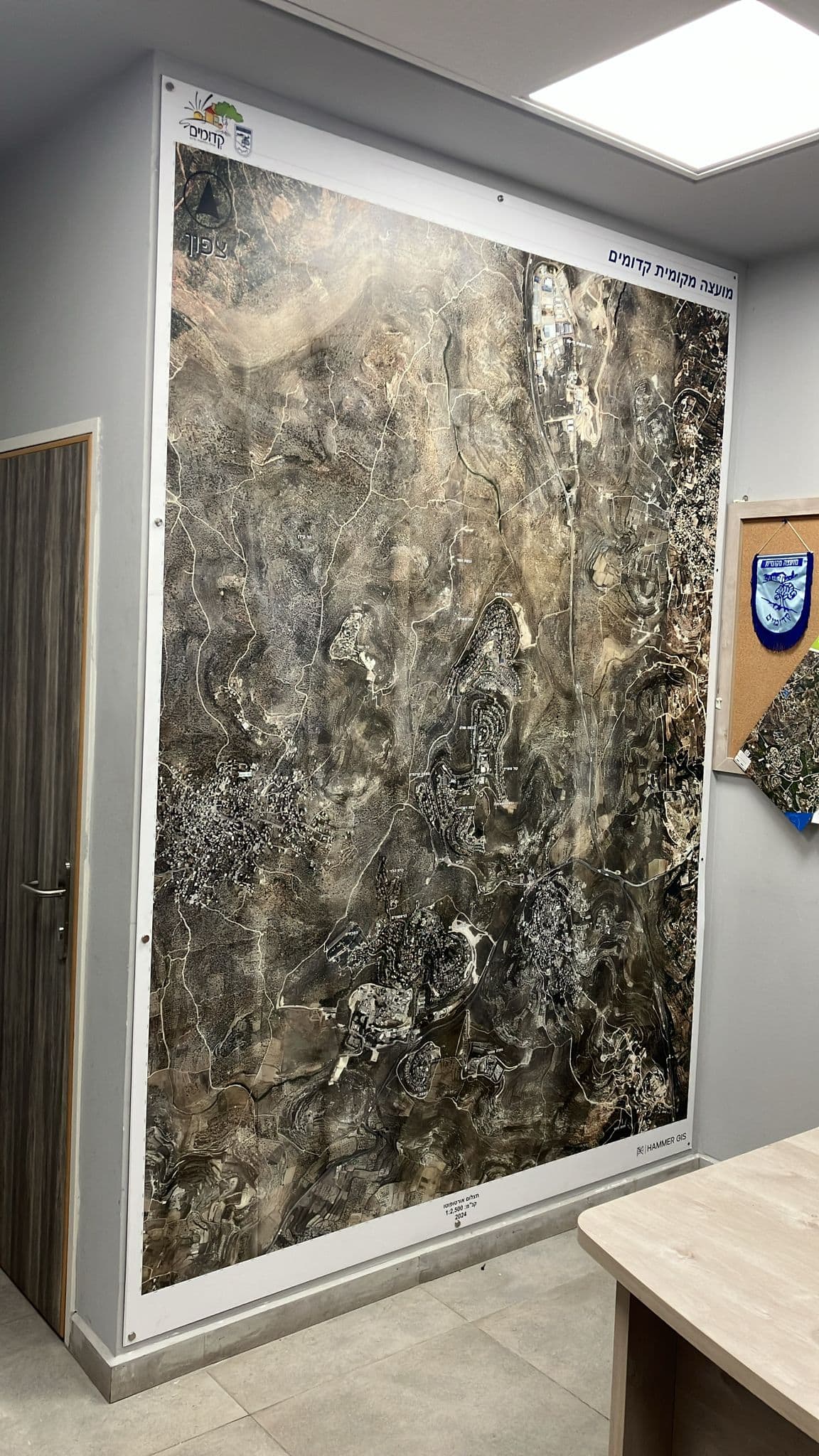
P-03 Floor-to-ceiling aerial map
J-04 · Your next project
What do you want to move forward in your organisation?
Tell us what needs solving and we will come back with a proposed approach: a survey, a system, software, or a combination.